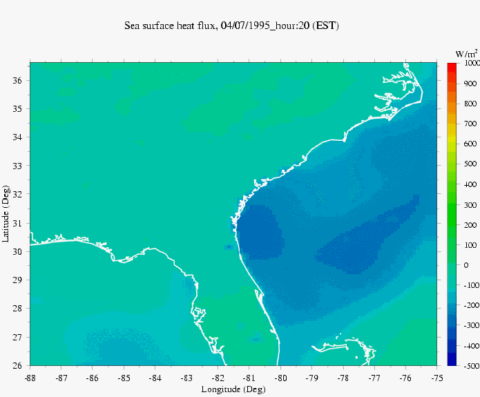
Sea Surface Winds, Pressure and Heat Flux
To build an accurate predictive management tool for the Ogeechee River requires a meso-scale meteorological model to provide a realistic field of surface wind stress, heat flux and precipitation/evaporation over the Ogeechee watershed. The preliminary experimental results show that our MM5 provided an accurate simulation of the surface winds in the inner shelf of the South Atlantic Bight. The model is ready for use by environmental managers and local officials. The MM5 based local weather forecast and hindcast system was built for fishery management in the Gulf of Maine/Georges Bank region. View an example of this system at the Chen group web site: The Gulf of Maine/Georges Bank Weather Forecast and Hindcast System.
A similar system was built for the South Atlantic Bight as a tool for coastal Georgia and South Carolina environmental managers.
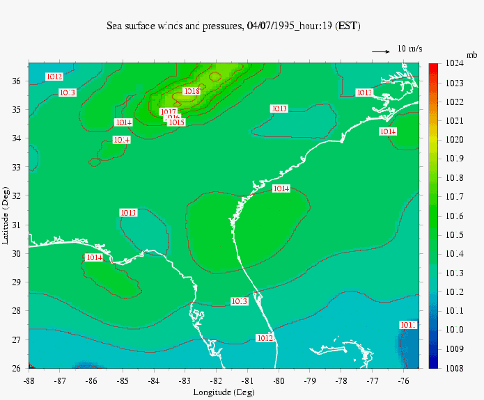
Because no State of Georgia-funds are available to support a real-time service, the MM5 forecast and hindcast system designed for routine web access has not been established on this website.An example of the South Atlantic Bight MM5 built on the Ogeechee River Estuary model system may be viewed by clicking on the figures displayed at this page. The animations provides a comparison between model-predicted and observed wind velocities over the South Atlantic Bight. |
|
Examples of sea suface winds and pressures (The red arrows are observed wind velocity on buoys and weather stations(C-MAN station)).
click here or the image to view animation

|