Model Validation, Code Parallelization, FVCOM Forum, FVCOM Registration, FVCOM User Login


South Atlantic Bight

The South Atlantic Bight (SAB) refers to the continental shelf bounded to the north at 35oN, Cape Hatteras, North Carolina and to the south at 27oN, West Palm Peach, Florida (Fig. 1). It is a typical concave shelf with a width of about 5 km off Palm Beach, 120 km off Georgia and South Carolina, and 30 km off Cape Hatteras.  According to physical processes that control the water properties, the SAB can be divied into 3 oceanographically climatologic zones: inner, middle, and outer shelves. The inner shelf, bounding at the 20-m isobath, is characterized mainly by a low-salinity front, which results from the interaction between freshwater discharge, tidal mixing, and wind forcing. The outer shelf is dominated by by the shelf break front between the Gulf Stream and coastal waters. The mid-shelf, located in the range of the 20- to 40-m isobaths, is a region controlled by the combined processes on inner and outer shelves.

Ten rivers Although the freshwater discharge from any one of these rivers is smaller compared with that of the Mississippi River over the Louisiana and Texas shelf, the total freshwater discharge is comparable. terminate along the coast of the SAB.

The 20-year mean of the total discharge shows a seasonal low of 1000 m3/s in autumn and a maximum of 4000 m3/s in spring. The maximum discharge was over 7000 m3/s during the high discharge year like 1993.

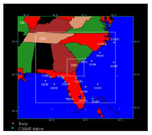
The inner shelf of the SAB is dominated by tidal motion. M2 tidal currents are about 30 to 40 cm/s near the coastal area, which account for about 80 to 90% (cross-shelf) and about 20 to 40% (along-shelf) current variation and kinetic energy in the inner shelf. Tidal energy is largest in the widest part of the shelf between Savannah and South Carolina and smallest at northern and southern ends.

The climatology of wind fields over the SAB can be divided into five seasons: winter (November to February), spring (March to May), summer (June to July), fall (August), and mariners’ fall (September to October).  The entire shelf of the SAB is characterized by northwesterly, northerly, or northeasterly wind in winder and by southeasterly or southwesterly wind in summer. Spring and fall seasons are in the transitional regime, which is typically by a relatively weak wind except during atmospheric frontal passages. In mariners’ fall, the northeasterly wind, which is strongest for entire year prevails over the entire SAB.

Our modeling efforts on the SAB started in late 90’s, with focus on physical processes associated with the low-salinity front and cross-frontal water exchange over the inner shelf of the SAB (Chen et al., 1999; Chen 2000).  These works were conducted originally using the modified version of the Princeton Ocean Model (called ECOM-si) (Blumberg and Mellor, 1987), and recently updated by using our own developed unstructured grid, finite-volume coastal ocean model (FVCOM). A brief summary is given here to provide the information about our accomplishments in this region.

Our research activities are supported by the Georgia Sea Grant College Program. Because the Sea Grant is focused on estuaries, we are searching for additional funds to continue to develop an operational coupled atmosphere-ocean-ecosystem model system for the SAB.  Our door is opening for collaboration.


SAB FVCOM:

The SAB FVCOM is a new unstructured mesh finite-volume model with a better fit of complex geometry around the coast and estuaries. This is a new model conncected to provide the boundary forcing for Georgia estusarine model. Tidal animation is shown in this website. For detailed model results and model-data comparison, please contact Dr. Chen directly.


SAB ECOM-si:

The SAB ECOM-si was our old model used for the study of the cross-frontal detachment of the low-salinity water from the inner shelf to the mid-shelf. That was the best available model in around mid-90's. It is good for the process-oriented mechansim study, but not suitable for the realistic application due to poor resolving of complex geometry and mass conservation.


SAB MM5:

The SAB MM5 is a community meso-scale meteorological model configured to provide the hourly fields of surface winds and heat flux over the SAB. The model is driven by the nested approach with the US ETA. The model predicts the meterological fields over 3 domains: 27, 9, and 3 km.

The SAB MM5 has been used for the estuarine management model system for the Satilla River Estuary. We are merging this model to the Weather Research Forecast (WRF) model to provide a high-resolution wind and heat flux fields.


Copyright © 2005
SMAST/ UMASSD
All rights reserved

Home           About Us           FVCOM            Research           Publications           Contact Us           FAQ