Model Validation, Code Parallelization, FVCOM Forum, FVCOM Registration, FVCOM User Login


AN UNSTRUCTURED GRID ALTAMAHA RIVER MODEL

The Altamaha River estuary is the largest estuarine nursery in Georgia, with a large outflow supplying nutrients to the South Atlantic Bight. Freshwater and nutrient discharges into the Altamaha River are a critical factor in determining the productivity of Georgia’s seafood and recreational fishing industries. There are long-term field measurements taken in this estuary, which provide a rich database to study the interaction of physical, biological, and chemical processes and to help predict the impact of in-stream flow on essential fish habitats (EFH).  However, since the dynamics in this estuary vary significantly in time nd space, it is not an easy task to synthesize these data and use them to understand the broad implications of ecosystem interaction and predict the impact of changes in in-stream flow. It is imperative if we are to understand the complex ecosystem in the Altamaha River.

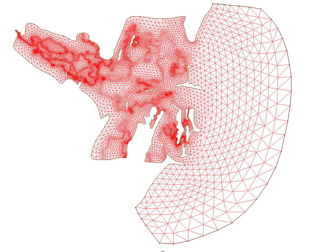
Dr. Rawson, former Georgia Sea Grant Program Manager, organized an interdisciplinary team a few years ago. That team proposed to set up FVCOM for the Altamaha River for the study of the freshwatr impact in the lower Altamaha River. At that time, Ms. Lin configured an unstructured grid and also made a test run for tidal-induced flooding/drying process. A brief description of the Altamaha FVCOM is given here to provide some information about this model.

The Altamaha River

The Altamaha River, located on the Georgia coast, is a national conservation estuary with rich diversity of animals and plants. This river is characterized with intensive tidal marshes and very shallow water depths. The Altamaha River is the second largest river in Georgia, with one of of the largest watershed in the Atlantic Seaboard.

Click here or image on the right to view the detail of the gometry of the Altamaha River. This is google map.


The Altamaha River FVCOM

The Altamaha River FVCOM was developed three years ago. The computational domain covers the almost entire Altamaha River and intertidal salt marshes. This model is capable to resolve the water flushing process over the river-tidal creek-salt marsh complex. The horizontal resolution varies from 20 m in creeks to ~5-10 km over the inner shelf where the open boundary is. The model was driven by tidal forcing constructed by 5 major tidal constituents (3 semidiurnal and 2 diurnal).

Click here or the image on the right to view the full-size figure of the model grid.


Copyright © 2005
SMAST/ UMASSD
All rights reserved

Home           About Us           FVCOM            Research           Publications           Contact Us           FAQ