Model Validation, Code Parallelization, FVCOM Forum, FVCOM Registration, FVCOM User Login

THE EAST CHINA SEA AND THE YELLOW SEA

The East China and Yellow Seas are located on the western Pacific Ocean, with connection to the Japan/East Sea through the Korea/ Tsushima Strait to the northeast and the South China Sea through the Taiwan Strait to southwest. The East China Sea (ECS) covers the area originating around the Taiwan Strait at about 25° N, extending northeastward to the Kyushu islands, Japan and the Korea/Tsushima Strait, and bounding by the Ryukyu island chains on the southeastern open ocean. A line running northeastward from the mouth of the Changjiang to the southwestern tip of Korea is defined as the boundary between the Yellow Sea (YS) to the north and the ECS to the south.

Schmatics of major circulation patterns in the ECS and YS in summer and winter. Black zone is Kuroshi.

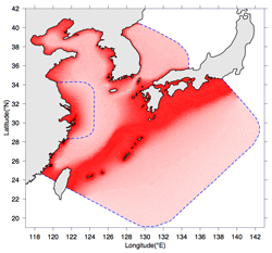
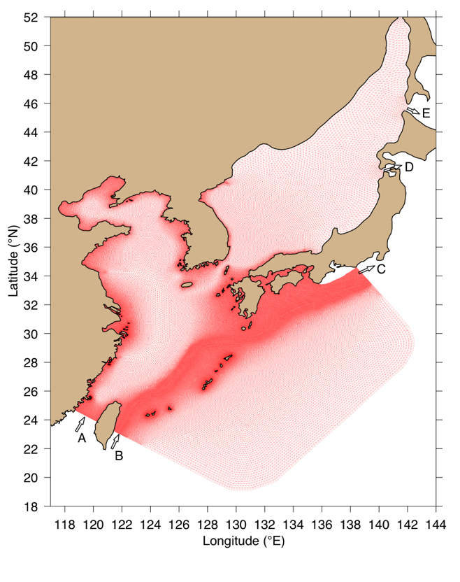
The flow in the ECS/YS is dominated by strong semidiurnal M2 tidal currents with superimposition of semidiurnal S2, and diurnal O1 and K1 currents. The low-frequency variability of the current in this region is strongly influenced by river discharges, air-sea interaction, tidal mixing and the Kuroshio. The ECS/YS is surrounded by the largest rivers in Asia, the Hangho (Yellow River) and Changjiang (Yangtzi River) along the east coast of China, and by three relatively small rivers, the Yalu, Han and Keum, along the north coast of China and west coast of Korea (see Chen et al. 1994). The seasonal cycle of freshwater discharge from these rivers dominates the surface distribution of water properties in the ECYBS, especially in summer when the river output is largest. Air-sea interaction is responsible for vertical stratification of water masses in the ECS/YS where the water is mixed vertically by strong surface cooling and wind mixing during winter and re-stratified by strong surface heating during summer. It is well known that the Kuroshio centers the ECS east of Taiwan, flows northeastward along the edge of the continental shelf along the 200-m isobath, and then leaves the ECS through the Tokaro Strait southwest of Kyushu (see Chen et al. 1992). The water exchange between the coastal and Kuroshio waters tends to form a strong frontal zone between the warm and high salinity Kuroshio water and relatively cold and low salinity coastal ECS water at the shelf break. This front exhibits eddies due to baroclinic instability.

Recently the ECS has experienced a serious environmental problem due to the high-frequently occurrence of the harmful algal blooms (HAB) (or red tide) (see Chen et al. 2003). Significant increase in nutrient loading from the Changjiang is believed to be a key physical-biological source to cause the eutrophication. The accumulation of the sediment around the mouth of the Changjiang also continuously make the navigation problems. All these economic and environmental problems call for the intense scientific study of the ECS/YS and Changjiang Estuary.

As Zhijiang Scholar, Dr. Chen has been collaborating with Dr. Pingxing Ding, Director of the State Key Laboratory for Coastal and Estuarine Research at East China Normal University, Shanghai, on developing the East China Sea and Changjiang River Estarine models system by using the stat-of-the-art unstructured grid Finite-Volume Coastal Ocean Model (FVCOM). To nest the Changjiang Estuarine Model with a regional scale ECS and Pactific Ocean, Chen et al. (2005) at Marine Ecosystem Dynamics Modeling Laboratory at University of Massachusetts has developed a new finite-volume flux algorithm that ensure the volume and mass conservation in the control volume that are independent of poleward convergences of longitude and latitude. Dr. Beardsley at Woods Hole Oceanographic Institution, founder of the first US-China Cooperation in the East China Sea about 25 years ago, is working together with Dr. Chen on continuing exploration of the physical and ecosystem process in the ECS and YS. A brief description of our ECS model and some examples of the model reshults are given below.

The ECS/YS/BS Weather Forecast System

We have developed a meso-scale weather forecast sysrtem for the East China/Yellow/Bohai Sea using the Weather Research Forecaster (WRF). The forecast area contain the entire region of the East China Sea and East/Japan Sea with a horizontal resolution of 30 km and the Yellow/Bohai Seas with a horizontal resolution of 9 km.

Click here or image to access the forecast system.

FVCOM-ECS

This is our new version of the high-resolution East China Sea FVCOM developed in 2005. This model has a horizontal resolution of ~3 km in Kuroshio and about 500 m along the coast, around isalnds, and in the Changjiang River. The blue dashed line off the Changjiang River is the boundary cell points which is directly linked to our high resolution Changjiang River model (see the Changjiang River website). 41 non-uniform sigma layers were specified in the vertical, with thin layers near the surface. The Kuroshio was spin up by specify volume fluxes at open boundaries under climatological hydrographic condition. River discharges were input at the up end of the Changjiang River. The model was also driven by wind stress from either specified constant values or the meso-scale meteorological model output.

Click here or image to view a big size of figure.

FVCOM-ECS/JES

Recently we have extended our East China Sea FVCOM to cover the Japan/East Sea. This model was used to examine the offshore water transport of the Changjiang Diluted Water (CDW) in the East China Sea. The modification also include: 1) replacing the sigma-coordinate by the generalized terrian-following coordinates to provide a better resolving of surface and bottom boundary layers; 2) upgrading the open boundary condition with inclusion of specified flux and calculated sutidal sea elevations, currents, temperature and salinity. Physical forcing is the same as that used in FVCOM-ECS. A package of Kalman Filter data assimilation methods, generalized biological modules, and suspended sediment module, etc are also turn on in this version.

An effort was made by Korean scientists to incrrease the horizontal resolution of FVCOM-ECS/JES in the Japan/East Sea for the study with focus on that region.

Click here to view a big size of figure.

Tidal Animation

FVCOM-ECS tidal experiments were driven by five major tidal constituents. Here is one example of tidal animation of the sea surface elevation and near-surface current for the case with the only M2 tidal forcing. A tidal database was built and used for the tidal forecast application.

Click here or image to watch a big size flash movie.

Changjiang Plume in the ECS

An animation of the Changjiang plume under the summer hydrographic condition in the East China Sea. In this case, the only river discharge is considered. The plume predicted by FVCOM-ECS significantly differs from previous structured grid model. The FVCOM-predicted plume structure is much close to that detected in the high-resolution satellite image. The temporal and spatial distributions of this plume was studied in detail in Chen et al. (2006)'s paper. The model clearly shows an evidence of the interaction of the Changjiang low-salinity current and Taiwan Warm Current and basin-scale adjustment due to the Changjiang River discharge. To make the animation viewable, we select the current points in a radius of every 5 cell points.

Click here or image to watch a large size flash movie.

Particle Tracking Experiment

An example of the particle tracking experiment results is given here. This is the case with a southerly wind (northward) of 5 m/s. Color is the salinity. Upper figure shows trajectories of particles released near the surface, and lower figure presents the trajectories of particles released near the local bottom (about 10-15 m).

Many experiments were made for particle and tracer tracking experiments. A detailed disccusion of particle and tracer experiments was given in Chen et al. (2006).

Click here or image to watch a large size flash movie.


Copyright © 2005
SMAST/ UMASSD
All rights reserved

Home           About Us           FVCOM            Research           Publications           Contact Us           FAQ