The MM5 Flow Chart
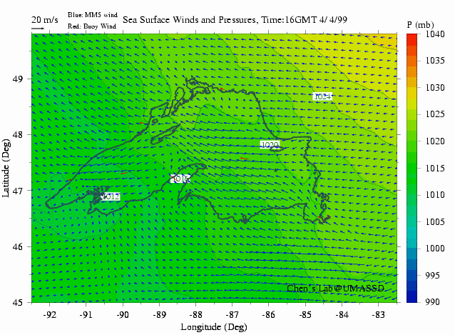
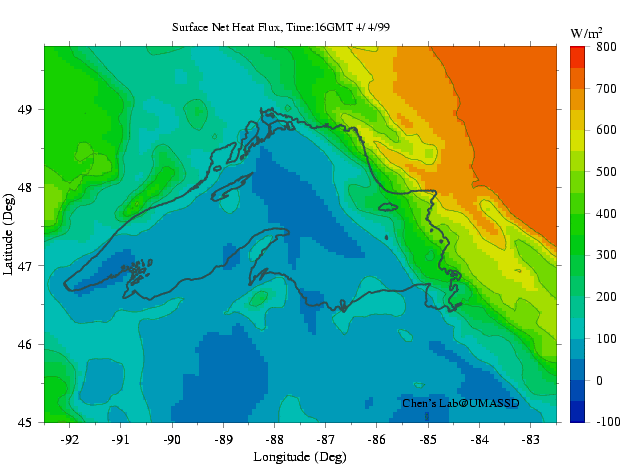
Our previous modeling experiments clearly show that the circulation in Lake Superior is domaintly driven by the wind plus seasonal variation of surface heat flux/short-wave penetration. Uncertainty in the wind data is one of major factors that directly affect the simulation accuracy.
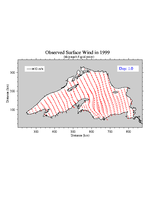
Efforts was made to build a forecast model system for Lake Superior: 1) using meso-scale meteorological model (called MM5) or Weather Research Forcaster (WRF) to provide the 5 days of the wind forecast and 2) using the forecasted wind and heat flux to drive FVCOM to provide 5 days of the 3-D current and water temperature fields. In this system the MM5 was operated using two-way nesting from 3 domain. Horizontal resolutions of these domains are 45, 15, and 5 km, with an output of the wind in a 5 km resolution. All buoys and coastal weather station measurement data are assimilated into MM5 to provide a reasonable wind and heat flux flieds.

An effort has been made to upgrade the MM5 system to WRF. With WRF, we can provide the 1-km resolution wind field with better resolution of meso-scale wind variability.